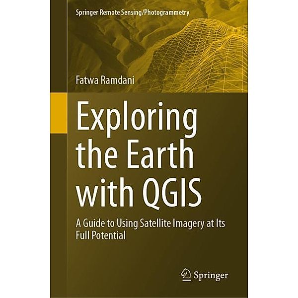
Exploring the Earth with QGIS
A Guide to Using Satellite Imagery at Its Full Potential
(Sprache: Englisch)
With the rapid advancements in satellite technology, earth remote sensing has become an indispensable tool for a wide range of applications, from environmental monitoring to disaster management. However, the vast amount of data generated by these satellites...
Jetzt vorbestellen
versandkostenfrei
Buch (Gebunden)
Fr. 189.00
inkl. MwSt.
- Kreditkarte, Paypal, Rechnungskauf
- 30 Tage Widerrufsrecht
Produktdetails
Produktinformationen zu „Exploring the Earth with QGIS “
Klappentext zu „Exploring the Earth with QGIS “
With the rapid advancements in satellite technology, earth remote sensing has become an indispensable tool for a wide range of applications, from environmental monitoring to disaster management. However, the vast amount of data generated by these satellites can be overwhelming for many researchers and practitioners who lack the necessary skills and tools to process and analyze it. This is where QGIS comes in. QGIS is a powerful, open-source Geographic Information System (GIS) software that has been extensively used in the field of earth remote sensing. It provides a user-friendly platform for processing, analyzing, and visualizing satellite imagery, enabling users to unlock the full potential of earth remote sensing data. The purpose of this book is to help researchers and practitioners who lack the necessary skills and tools to process and analyze satellite imagery using QGIS.There are several books that cover the use of QGIS for earth remote sensing, but most of them areeither too technical or too general. This book fills this gap by providing a comprehensive and user-friendly guide to using QGIS for earth remote sensing applications. It includes a range of real-world case studies that demonstrate the power and versatility of QGIS for solving complex problems in earth remote sensing. This will provide readers with practical examples of how to use QGIS for earth remote sensing and inspire them to explore new applications and possibilities. The book is intended for GIS professionals, students (undergraduate and graduate), and researchers who are interested in using QGIS for earth remote sensing applications. It will be particularly useful for those who are new to QGIS or who want to expand their knowledge of the software for remote sensing purposes.
Inhaltsverzeichnis zu „Exploring the Earth with QGIS “
Chapter 1: Introduction to QGIS.- Chapter 2: Plugins.- Chapter 3: Data Acquisition.- Chapter 4: Data Preprocessing.- Chapter 5: Data Management.- Chapter 6: Data Visualization.- Chapter 7: Data Analysis.- Chapter 8: Integration of Remote Sensing Data with Other Spatial Datasets.- Chapter 9: Integration of QGIS with Google Earth Engine (GEE).- Chapter 10: Case Studies and Examples of Earth Remote Sensing Applications Using QGIS.
Autoren-Porträt von Fatwa Ramdani
Dr. Fatwa Ramdani currently serves as a Professor at the University of Tsukuba in Japan. His research primarily focuses on environmental impact assessment, specifically leveraging earth observation data to investigate matters concerning human influence on the environment and issues of sustainability. His dedication to this field has resulted in the publication of 7 books and over 100 peer-reviewed articles in conferences and journals. He is affiliated with esteemed organizations such as the IEEE Geoscience and Remote Sensing Society (IGARSS), Japan Society of Photogrammetry and Remote Sensing (JSPRS), Remote Sensing Society of Japan (RSSJ), and European Geoscience Union (EGU). He actively serves as a reviewer for various journals including Nature Communications, International Journal of Remote Sensing, Climatic Change, Remote Sensing of Environment, and Global Environmental Change.
Bibliographische Angaben
- Autor: Fatwa Ramdani
- 2023, 1st ed. 2023, XIX, 232 Seiten, 283 farbige Abbildungen, Masse: 15,5 x 23,5 cm, Gebunden, Englisch
- Verlag: Springer, Berlin
- ISBN-10: 3031460413
- ISBN-13: 9783031460418
Sprache:
Englisch
Kommentar zu "Exploring the Earth with QGIS"
0 Gebrauchte Artikel zu „Exploring the Earth with QGIS“
| Zustand | Preis | Porto | Zahlung | Verkäufer | Rating |
|---|


Schreiben Sie einen Kommentar zu "Exploring the Earth with QGIS".
Kommentar verfassen