
National Geographic DestinationMap Los Angeles
City Map & Travel Guide. Points of Interest, Additional Inset Map, Transit System, Travel Information, Top Attraction, 3D Buildings, Airport Terminal Maps, Regional Map, Photos. Waterproof, Durable, Lightweight
(Sprache: Englisch)
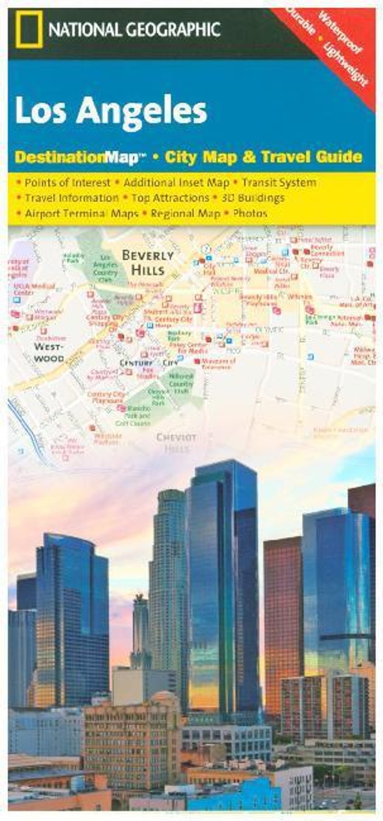

City Map inkl. Nebenkarte 'Downtown Las Vegas, Long Beach, Anaheim, the Westside; Flughafen-Plan LA International Airport & John Wayne Airport
lieferbar
versandkostenfrei
Buch
Fr. 14.90
inkl. MwSt.
- Kreditkarte, Paypal, Rechnungskauf
- 30 Tage Widerrufsrecht
Produktdetails
Produktinformationen zu „National Geographic DestinationMap Los Angeles “
City Map inkl. Nebenkarte 'Downtown Las Vegas, Long Beach, Anaheim, the Westside; Flughafen-Plan LA International Airport & John Wayne Airport
Klappentext zu „National Geographic DestinationMap Los Angeles “
CityDestinationMaps blend urban guidebook information with easy to read street maps, complete with 3D buildings. The maps are printed on waterproof, tear-resistant material that's lightweight yet very durable. Double-sided with beautiful photos and detailed travel information, in addition to the easy-to-read map on the front, the back of this Los Angeles map includes: Regional map; Points of interest; Inset maps of Downtown Los Angeles, Long Beach, Anaheim, and the Westside; Los Angeles International Airport and John Wayne (Orange County) airport diagrams.
Bibliographische Angaben
- 2012, 1 Seiten, Masse: 12,4 x 22,5 cm, Karte (im Sinne von Landkarte), Englisch
- Massstab: 1:204000
- Verlag: National Geographic Maps
- ISBN-10: 1597750921
- ISBN-13: 9781597750929
- Erscheinungsdatum: 11.07.2013
Sprache:
Englisch
Kommentar zu "National Geographic DestinationMap Los Angeles"
0 Gebrauchte Artikel zu „National Geographic DestinationMap Los Angeles“
| Zustand | Preis | Porto | Zahlung | Verkäufer | Rating |
|---|
Schreiben Sie einen Kommentar zu "National Geographic DestinationMap Los Angeles".
Kommentar verfassen