
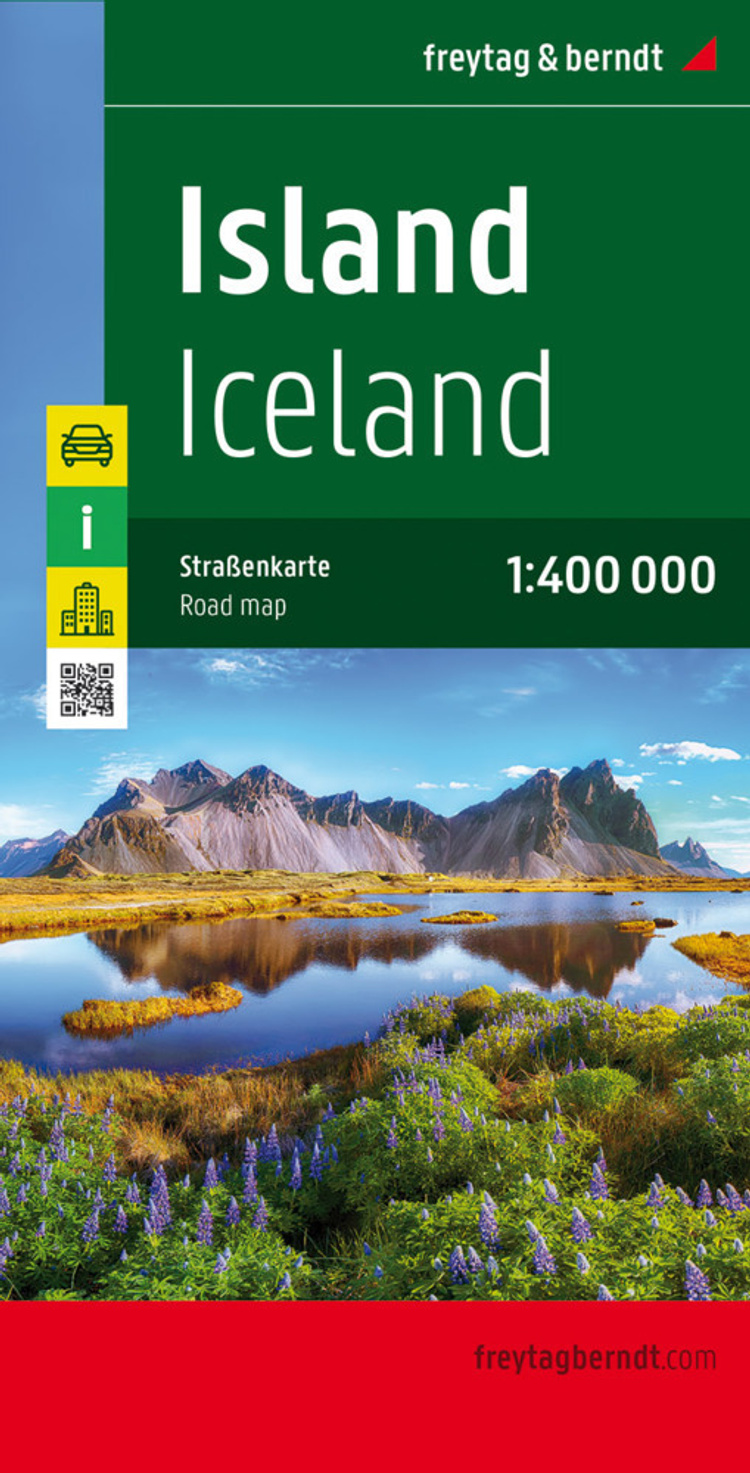
Island, Strassenkarte 1:400.000. Ijsland. Iceland. Islande. Islanda
Cityplan, Ortsregister, Entfernungen in km
(Sprache: Niederländisch, Englisch, Französisch, Deutsch, Italienisch)


A two sided detailed road and tourist map of Iceland at a scale of 1:400,000 (1" to 6 miles). The map is on one side and the index is on the reverse. Shading is used to accent the land in relief. Selected elevations and distances are shown. Contour lines...
- Kreditkarte, Paypal, Rechnungskauf
- 30 Tage Widerrufsrecht
Produktdetails
Produktinformationen zu „Island, Strassenkarte 1:400.000. Ijsland. Iceland. Islande. Islanda “
A two sided detailed road and tourist map of Iceland at a scale of 1:400,000 (1" to 6 miles). The map is on one side and the index is on the reverse. Shading is used to accent the land in relief. Selected elevations and distances are shown. Contour lines are superimposed at 200 meter intervals. There are insets of central Reykjavik at a scale of 1:5,000 (13" to a mile). A locator map shows Iceland in relation to Europe, and some photographs of the scenery. In addition to road classifications and fuel stations, the extensive legend includes geysirs, caves, waterfalls, national parks, hiking shelters, and golf courses. The legend is in Danish, German, English and Italian.
Klappentext zu „Island, Strassenkarte 1:400.000. Ijsland. Iceland. Islande. Islanda “
Neben der übersichtlichen Gestaltung bietet die Autokarte Island 1:400.000 zahlreiche Zusatzinformationen wie z.B. Strassenbeschaffenheit, Sehenswürdigkeiten, Campingplätze und einen Innenstadtplan. Mit dem umfangreichen Ortsregister gelingt zudem eine rasche Orientierung. - Massstab 1:400.000- Cityplan Reykjavík- Ortsregister mit Postleitzahlen- Entfernungen in km freytag & berndt Autokarten sind für viele Länder und Regionen weltweit erhältlich.
Mehrfarbendruck. Gefalzt
Bibliographische Angaben
- 2019, Masse: 12,8 x 24,6 cm, Karte (im Sinne von Landkarte), Französisch/Deutsch/Niederländisch/Italienisch/Englisch
- Massstab: 1:400000
- Verlag: Freytag-Berndt u. Artaria
- ISBN-10: 3707904512
- ISBN-13: 9783707904512
- Erscheinungsdatum: 21.09.2004
Sprache:
Niederländisch, Englisch, Französisch, Deutsch, Italienisch
Kommentar zu "Island, Strassenkarte 1:400.000. Ijsland. Iceland. Islande. Islanda"
0 Gebrauchte Artikel zu „Island, Strassenkarte 1:400.000. Ijsland. Iceland. Islande. Islanda“
| Zustand | Preis | Porto | Zahlung | Verkäufer | Rating |
|---|
Schreiben Sie einen Kommentar zu "Island, Strassenkarte 1:400.000. Ijsland. Iceland. Islande. Islanda".
Kommentar verfassen